AMUQ VALLEY REGIONAL PROJECT
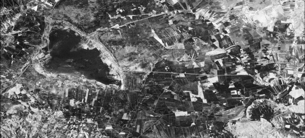
The Amuq Valley is located in Hatay, the most southern state of Turkey. Situated at a crucial junction between Cilicia and the Mediterranean coast on the west, Syria to the south, the Anatolian plateau to the north, and the Syro-Mesopotamian regions to the east, the Amuq offers researchers an unusual opportunity to study a number of key themes regarding the transformations of regional and interregional relationships. The valley lies within a well-studied region of the upper Orontes (Asi) River and the former Lake Antioch (Amik Gölü), tucked in the bend of the northeastern Mediterranean Sea. Measuring 535 square kilometers (330 square miles), the Amuq Valley (variously, the plain of Antioch, modern Antakya) is defined here culturally as part of the northern Levant and the southern fringes of Anatolia.
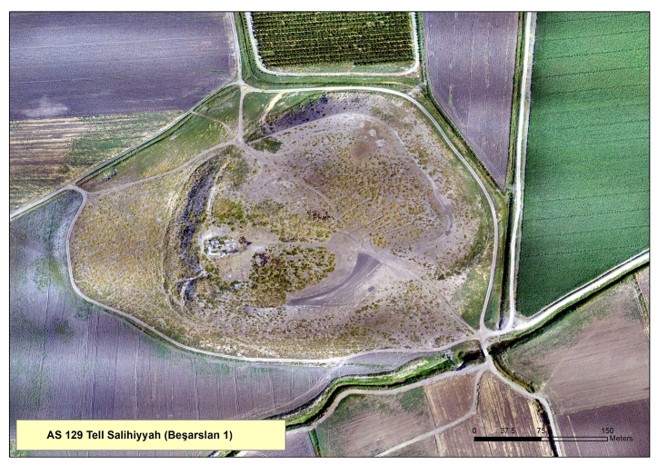
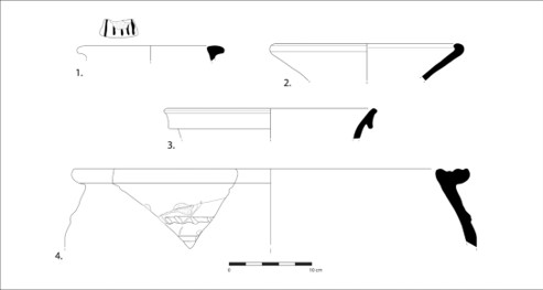
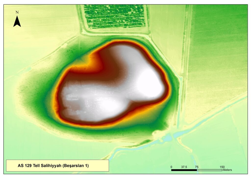
From 1932 to 1938, Robert and Linda Braidwood conducted ground-breaking archaeological surveys of the Amuq on behalf of the Oriental Institute. 178 sites were documented, and the sites of Chatal Höyük, Tell al-Judaidah, Tell Ta’yinat, Tulail al-Sharqi, Tell Ta’yinat al-Saghir, Tell Kurcoglu, and the Vadi-el Hamam cave were excavated. Since some prehistoric periods were not well-represented in these excavations, trenches were dug into Tells Dhahab and Kurdu during the final year (1938) in order to complete the sequence. C. Leonard Woolley initiated excavations at Tell Atchana, Tabarat al-Akrad, and Tell esh-Sheikh, and he conducted soundings in a variety of different Amuq sites in 1936, but these remain unpublished. He excavated Uzunarab-Boz Huyuk and the twin mounds Tulul Salihhiye and Tell Salihhiye between 1936 and 1949. The pottery, architecture, texts, and other artifacts excavated at these sites provide one of the longest and most reliable chronological sequences of stratified cultural material in the entire Near East.
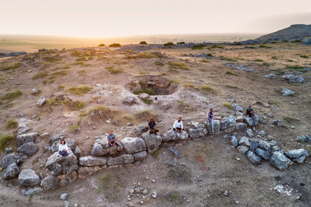
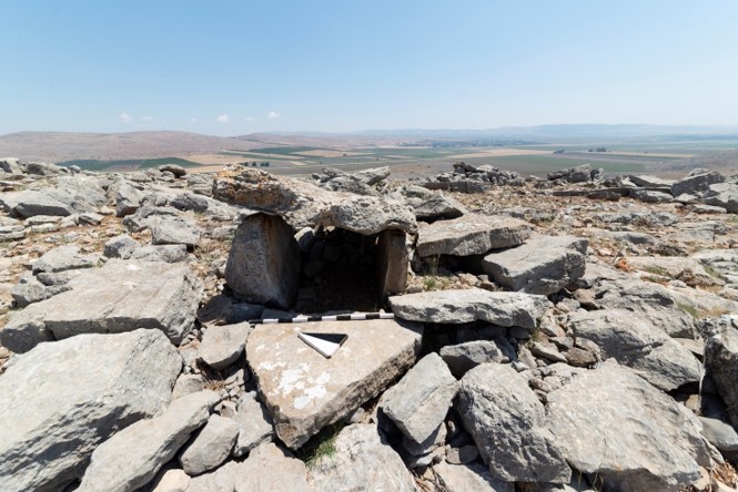
From its reactivation in 1995 by K. Aslihan Yener, the current Amuq Valley Regional Project (AVRP) represents a series of coordinated field projects including both regional survey and excavation. The initial stage of the research strategy focused on contextualizing the settlements by survey, followed by site-specific investigations prior to the resumption of new excavations. Tony Wilkinson’s inspiring geoarchaeological research in the context of AVRP remains a touchstone in the field today. Although the best known site is that of Roman Antioch on the Orontes, a total of over 400 sites have been researched to date and have yielded copious environmental data.
As of 2017, Murat Akar has directed the surveys, particularly concentrating on geoarchaeological research in collaboration with Ulaş Avşar. Another aspect of the new surveys has been the reevaluation of the ceramic sequence of the Amuq Valley as a whole, conducted by Müge Bulu, as well a high-resolution drone mapping project. The project also seeks material evidence of ritual activities performed in non-urban contexst and evaluates them through the lens of cult and ritual in a temporal frame extending from the Chalcolithic to Bronze Ages at Kızılkaya and its surroundings in the northern end of the valley..
In the last 20 years, three new archaeological excavations have been initiated in the Amuq Valley at Tell Kurdu, Tell Atchana, and Tell Ta’yinat. With their own unique characteristics and time frame, each of the three sites represents a major urban center in the plain. Most recently, rescue excavations have also been conducted at Toprakhisar Höyük under the auspices of the Hatay Archaeological Museum.